CRAIG OPS
EST. 2021
Cinematic and Imaging
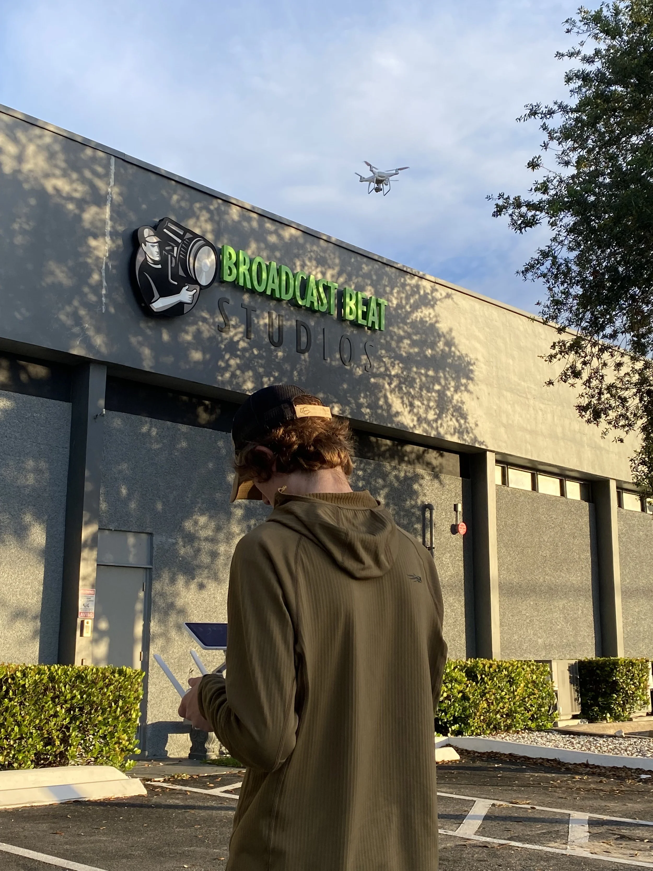
With over a decade of remote pilot experience, crafting a visually aspiring and informative deliverable is the standard. With access to both FPV and Cinematic platforms, the style of options available can be utilized to carefully conform to your needs. Offering a choice between a raw deliverable and a full finished deliverable allows for the consumer to save money and have the option for creative freedom in their final product. Developing a pipeline of signature techniques has proven to deliver clients with top quality deliverables that increase conversions and watch time. Conducting fundamental preflight analysis up to two weeks out from a shooting project allows for checklists to be specifically tailored to each location and production type. Adding a UAS to a production will change how directors film moving forward into the future.
Utilizing remote aircraft will add new prospective to photographs and provides the client with a wide selection of dynamic angles to provide an exact solution. In the modern world we live in, images can tell stories and have sentimental value or be used for analytical and inspection purposes. With our services, Inquiring with insurance companies after an accident can be done quickly and efficiently. UAV’s can cover large quantities of an area rapidly, getting even large scale accidents reported in no time at all.
Multispectral Services
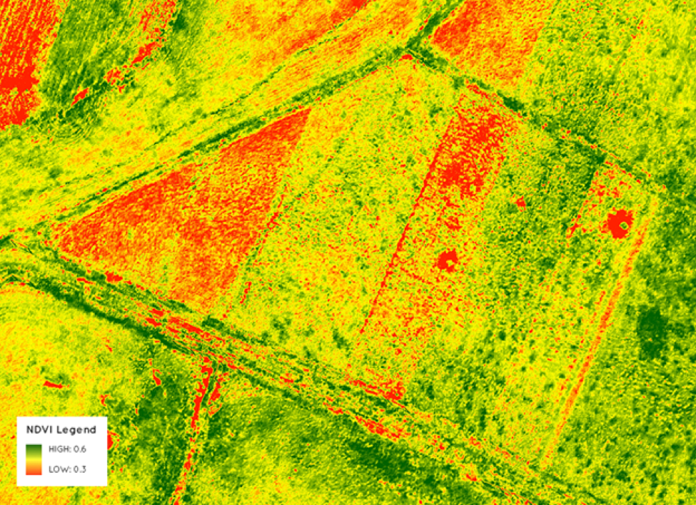
These hypersensitive sensors ingest specific wavelengths of the EM spectrum to highlight individual elements found on vegetation and the soil it grows in. This incredible technology not only can help farmers and scouting specialists in writing precise prescriptions for their crops, but also builds the foundation for variable rate application. Ultimately reducing chemical waste, keeping our world cleaner while saving our farmers copious amounts of cash.
To really understand how this type of imaging can slingshot your operation into the future, the following key elements can be further analyzed to ensure maximum yield.
Variable Rate Mapping
Erosion Control
Irrigation Functionality
Crop Health Indexing
Scouting and Analysis
Harvest Uniformity
Digital Elevation Modeling
Using photogrammetry, high quality maps can be stitched together highlighting preselected areas of interest. Remote aircraft can collect this data autonomously by flying a predetermined route. Many different models can be created using this process that can be extremely beneficial and time saving to clients.
When incorporating light detection and ranging (LiDAR) into DEM, the accuracy of the model exponentially increases. LiDAR imaging resembles radar, by emitting laser pulses, measuring the time it takes for them to bounce back, and calculating the distance based on the displacement. By working with high-precision GPS and GCPs, LiDAR is ideal choice for surveying infrastructural elements with complex geometry as well as natural landscapes. With this advanced technology along with precise ground control points (GCP) the data can be conveyed visually with incredible accuracy.
Types of custom DEM modeling available
Digital Terrain Modeling
Digital Surface Modeling
Orthomosaic Mapping
3D Modeling
FAA Part 107 Certified
CraigOperations takes this line of work incredibly seriously with incredible pride and attention to detail. As a Federal Aviation Administration hull insurance and part 107 license holder, our work is insured and licensed. To learn more about what this entails, hit the button below to view FAA Part 107 rules and regulations.